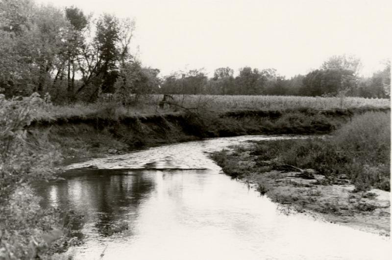
Looking north up the Skunk River, just north of the bridge, two miles north of the Gilbert (Iowa) corner on Highway 69 and east to the bridge, not far from where the H-tree was once located. It was at this point that soundings were taken and drillings were made in order to determine the depth of the water. The drillers struck an artesian well and they had to pump many tons of concrete in order to stop the flow of the well. The result of that action was that the flow of the artesian wells in the area was lowered. Photograph was taken in the 1980s by Farwell Brown.
Citation: 98.529.4
Year: 1980 (approx.)